Research leader
End User representatives
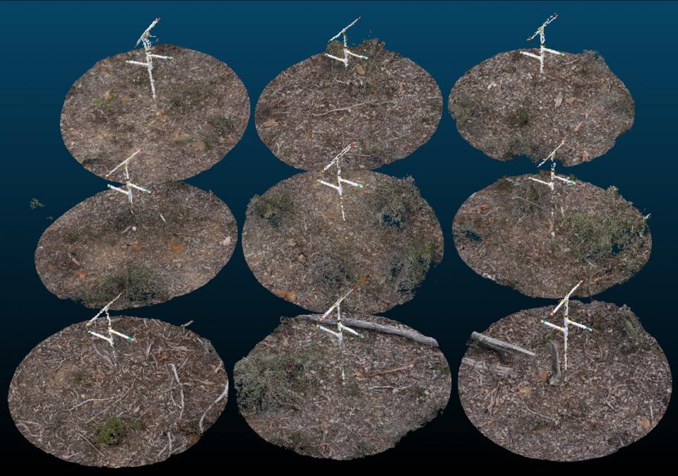
Point clouds derived from Terrestrial Laser Scanning and Airborne Laser Scanning have been used previously to measure tree-based characteristics and only recently been used to measure fine fuel vegetation characteristics. The research project investigated the following research questions:
- What are effective scanning techniques to use in conjunction with a low-cost TLS that balances time and data quality and provides the required information to describe fuel hazard at the plot scale?
- What is the relationship between airborne and terrestrial laser scans in terms of describing fuel attributes?
| Year | Type | Citation |
|---|---|---|
| 2023 | Journal Article | Up-scaling fuel hazard metrics derived from terrestrial laser scanning using a machine learning model. Remote Sensing 15, 1273 (2023). |
| 2022 | Journal Article | Terrestrial Laser Scanning: an operational tool for fuel hazard mapping?. Fire 5, 85 (2022). |


